


Present ‘Odisha’ was previously named as ‘Kalinga’ since the era of Mahabharat. The great “Kalinga War” dated back to 261 BC when Ashok, the Mauryan King of Magadh invaded the State of Kalinga in a never before seen Bloody War which later turned the Ashok into “DHARMASHOKA”. It has a vast cultural heritage.
Odisha with a total of 155,707 square km in the area is bound by the Bay of Bengal like a Garland on the East and West Bengal, Jharkhand, Chhattisgarh, and Andhra Pradesh on other sides. Odisha consists of 30 districts namely:
1) Angul 2) Balasore 3) Bargarh 4) Baudh 5) Bhadrak 6) Bolangir 7) Cuttack 8) Deogarh 9) Dhenkanal 10) Gajapati 11) Ganjam12) Jagatsinghpur 13) Jajpur 14) Jharsuguda 15) Kalahandi 16) Kandhamal 17) Kendrapara 18) Keonjhar 19) Khurda 20) Koraput 21) Malkangiri 22) Mayurbhanj 23) Nayagarh 24) Nawapara 25) Nawarangpur 26) Puri 27) Rayagada 28) Sambalpur 29) Sonepur and 30) Sundargarh.
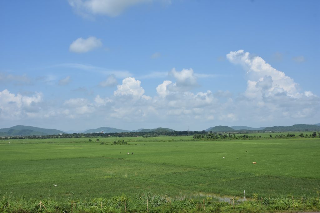
The climate of the state is characterized by hot summer and cold winter in the interior and the climate of the coastal region near the Bay of Bengal is moist and equable. May is the hottest month with the mean daily maximum temperature of 36.60C in the plains, the plateau regions, and elevated places recording 20C and 50C lower. During May, the mean daily maximum temperature ranges from 32.30C to 43.20C over the state, the values increasing north-westwards. The total annual rainfall for the state is 145 cm and the total annual number of rainy days is 69.
Orissa state is situated on the east coast of India, experiences very frequently, the full fury of the severe storms and/or depressions of the Bay. The maximum number of storms/depressions affecting the state is observed in August and September.
The principal rivers of the state are:
1) The Mahanadi
2) The Brahmani
3) The Baitarani
4) The Budhabalanga
5) The Ang
6) The Tel

Odisha has two major airports namely 1) Biju Patnaik International Airport at Bhubaneswar and 2) Veer Surendra Sai Airport at Jharsuguda. Both these airports are well connected to different cities of India. Paradeep, Dhamara, and Gopalpur are three are cargo handling ports of Odisha on the Bay of Bengal. Odisha is well connected by road and rail networks. Distance (Road) of different district headquarters and major places from Bhubaneswar is as below :
| Place Name | Kms | Place Name | Kms |
| Aul | 115 | Jharshuguda | 374 |
| Anandpur | 155 | Kendrapada | 93 |
| Angul | 161 | Keonjhar | 235 |
| Aska | 167 | Kharihar | 612 |
| Bhanjanagar | 167 | khariar Road | 535 |
| Balangir | 327 | Khurda | 28 |
| Balasore | 214 | Karanjia | 213 |
| Balimela | 653 | Koraput | 499 |
| Bargarh | 380 | Kantabanjhi | 399 |
| Burla | 332 | Malkangiri | 618 |
| Baripada (Mayurbhanj) | 270 | Nimapara | 50 |
| Berhampur (Ganjam) | 179 | Nawapara | 546 |
| Bhadrak | 142 | Nawarangpur | 563 |
| Bhawanipatna (Kalahandi) | 418 | Nayagarh | 87 |
| Boudh | 228 | Paradeep Port | 119 |
| Baliguda | 267 | Paralakhemundi | 349 |
| Chandikhol | 71 | Phulbani | 211 |
| Chhatrapur | 157 | Puri | 59 |
| Choudwar | 56 | Rairangpur | 350 |
| Cuttack | 29 | Rajgangpur | 471 |
| Deogarh | 280 | Rayagada | 390 |
| Dhenkanal | 99 | Rourkela | 332 |
| Gopalpur | 169 | Sambalpur | 317 |
| Ghatagaon | 170 | Sonepur | 279 |
| Jagatpur | 36 | Sunabeda | 515 |
| Jagatsinghpur | 74 | Sundargarh | 407 |
| Jajpur | 120 | Talcher | 169 |
| Jeypur | 521 |
Off late Odisha has become a hub of educational and health care prominence. Premier institutes of national importance like AIIMS, IIT, NISER, IISER, IIM, Institute of Physics, Institute of Mathematics, Institute of Life Science, Central University, Rice Research Institute, and several Medical Universities apart from high-class other Government and Private Universities cater to the educational endeavour of the Government.
Tourism in this land of Lord Jagannath is one of the major attractions of the state. Puri – Konark – Bhubaneswar, the Golden Triangle of Odisha draws maximum footfalls all-round the year. The state has many National parks Biospheres and several Beaches. (*Odisha Tourism)
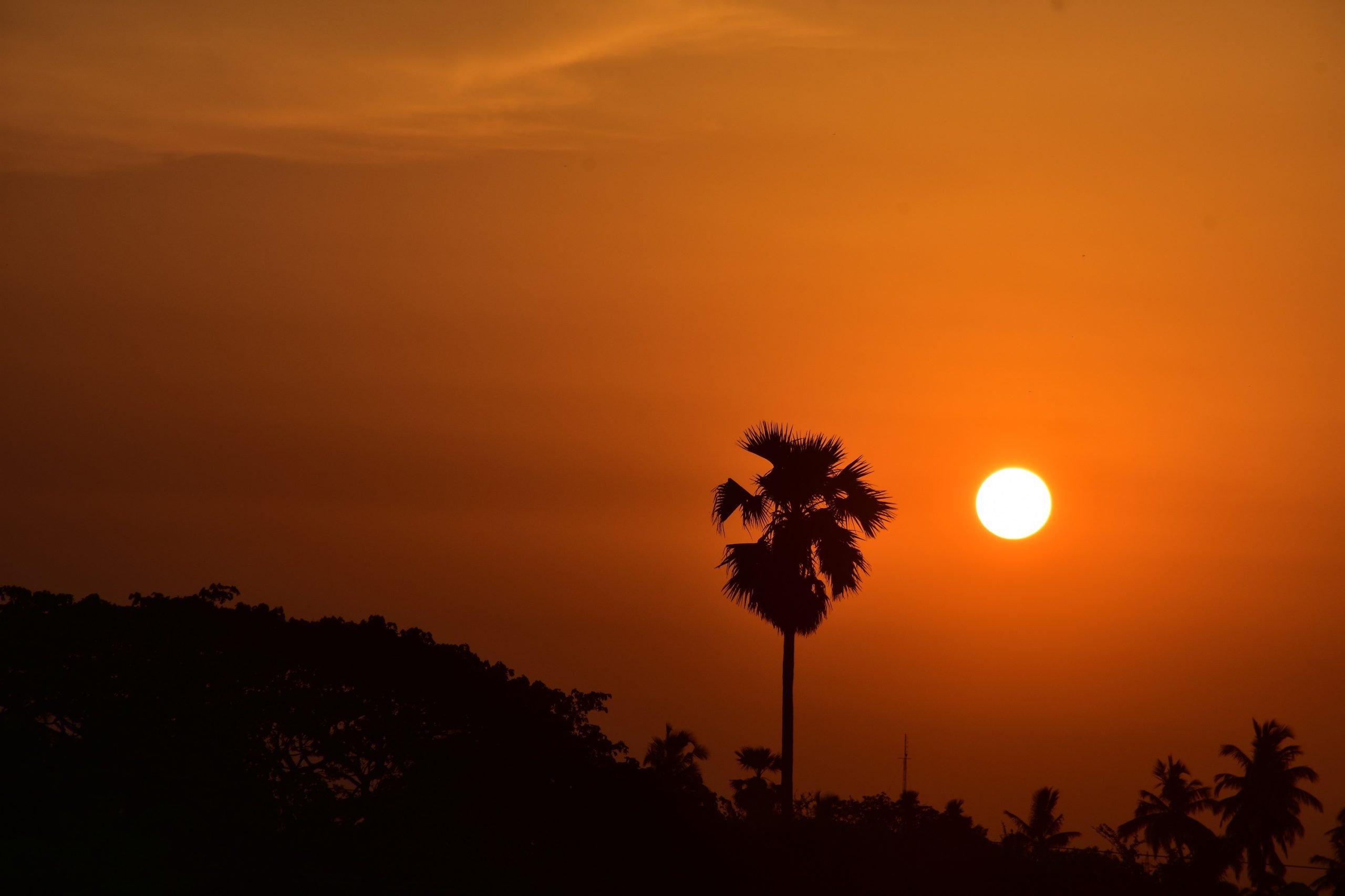
“ Incredible Odisha ”